Norway Bluff rises north of Munsungan Lake astride the boundary of the unorganized townships of T9 R9 WELS and T8 R9 WELS in the northeastern corner of Piscataquis County, just west of Aroostook County.
Off the radar for all but the most dogged hikers, the 2,284-foot peak is described for the first time in the 12th edition of the Appalachian Mountain Club’s Maine Mountain Guide. Suggested by my friend and ambitious peak bagger, Paul-William Gagnon, a longtime Mainer-turned Vermont resident, Norway Bluff was one of a handful of mountains in far northern Maine that I’d never visited. Two summers ago, I embarked on a mission to check those boxes, and in doing so, adjust the trail descriptions and driving directions for the guidebook.
Pulling into the gravel pit parking spot, I turned off the engine, eyed the odometer and did some figuring in my notebook. Sitting there in the deep woods, I was exactly 42 miles from the pavement of Route 11 in Ashland. It had taken two hours of driving over gravel logging roads to get here. As I exited the truck and shouldered my daypack, I felt an undeniable sense of being “out there.”


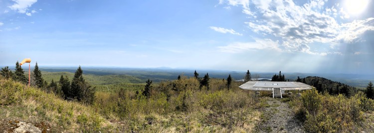
On Norway Bluff, a 1-mile hike leads to an expansive view over the remote forestlands of Aroostook County. Carey Kish photo
The trail on Norway Bluff is an unmarked jeep road; steep and eroded in places, it leads a mile to the radio communications complex on top. The old (1914) fire tower was removed and relocated to the Ashland Logging Museum in 2012. Nonetheless, the expansive view, ranging over the vast forestlands to Katahdin and the Traveler in Baxter State Park some 30-plus miles to the south, makes the trip worthwhile.
Norway Bluff is within the bounds of the North Maine Woods, a consortium of public and private landowners that manages access to 3 1/2 million acres or working forest in northern Maine, most of that in Aroostook County. Hikers must pass through a checkpoint and pay a fee for day use and camping (cash or check only; no credit cards). These fees help pay for road maintenance and the upkeep of 560 campsites.
To get to Norway Bluff, you’ll pass through the Six-Mile Checkpoint west of Ashland. The gatekeepers are always friendly and chock full of helpful advice. The free magazine “North Maine Woods,” available at every gate, includes a wealth of information and a road map. This, along with the Maine Atlas & Gazetteer – and the Maine Mountain Guide – are essential travel companions. Note: Travel in the North Maine Woods is on active logging roads. Always yield to commercial vehicles; avoid stopping on bridges, curves and main roads; and drive attentively and prudently.
Besides Norway Bluff, Round Mountain (2,155 feet) and Horseshoe Mountain (2,084 feet) were also on my to-do list in this neighborhood of the North Maine Woods.


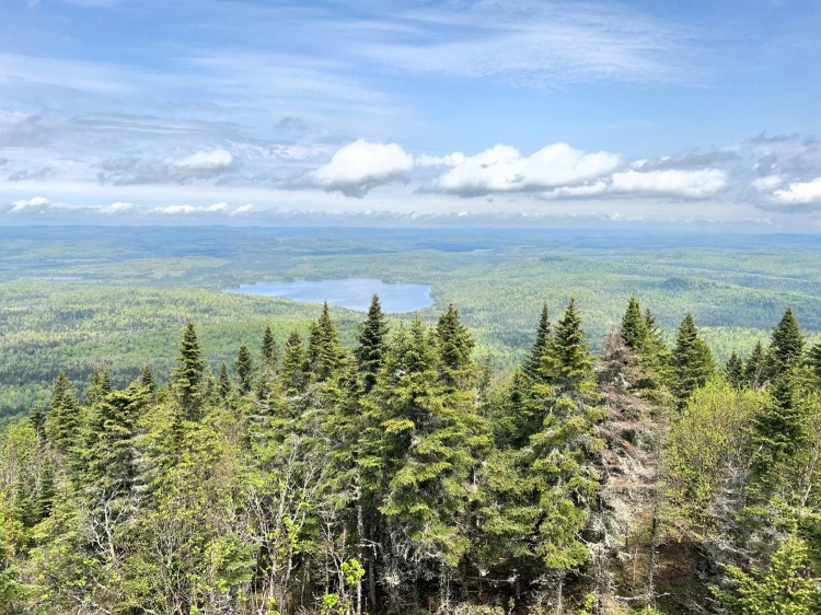
Panoramic views of the wild and remote terrain of interior Aroostook County is the reward for hiking Round Mountain. Carey Kish photo
Round Mountain is in T11 R8 WELS, 2 miles southeast of Rowe Lake. Flagging marks the sometimes indistinct route of the old fire warden’s trail, which climbs at a steady, moderate grade up the west slope. Hikers will encounter blowdowns on the unmaintained path. The cab of the 1918 fire tower on top is gone, but from the ladder, there’s a terrific view of Katahdin and Mount Chase, as well as Horseshoe, Haystack and Deboullie mountains.
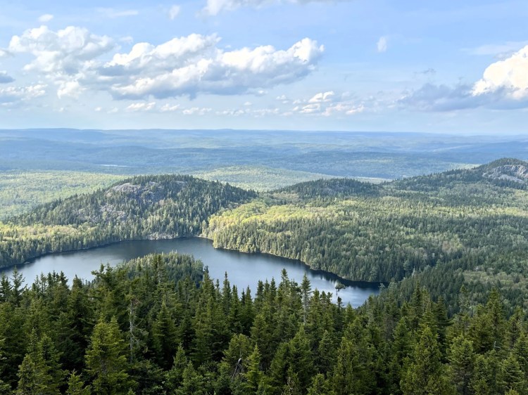
Ten miles west of Round Mountain – as the crow flies – in T11 R10 WELS, is Horseshoe (aka Rocky Brook) Mountain. Here, too, the treadway of the old fire warden’s trail isn’t well defined, and although marked occasionally with flagging, it should be attempted only by hikers comfortable navigating in rough terrain using a map and compass, or GPS. The Katahdin to Deboullie panorama from the steps of the fire tower (1951; no cab) is ample reward for the bushwhacking.


The wild and remote terrain of interior Aroostook County is on full display from Horseshoe Mountain. Carey Kish photo
These three hikes total only 6 miles, but you’ll drive well over 100 miles to tag them. That means you’re going to want a long weekend and a load of camping gear for the task. Fortunately, campsites abound in the North Maine Woods; all are outfitted with picnic tables (and sometimes a pavilion), fire pit and privy. The sites at McNally Pond and along the Machias River (my choices) are scenic and convenient to the hikes.
The remote hiking, natural beauty, wild character, sublime camping and dark night skies make the North Maine Woods a remarkable place to explore. Start preparing for your great adventure with a visit to northmainewoods.org.
Carey Kish of Mount Desert Island is the author of Beer Hiking New England, AMC’s Best Day Hikes Along the Maine Coast and the AMC Maine Mountain Guide. Follow more of Carey’s adventures on Facebook and on Instagram @careykish.
« Previous
Next »
Related Stories


:max_bytes(150000):strip_icc()/TAL-lake-tahoe-view-BACKPACKLT1223-666cc260430342aea4ba8165acc289c1.jpg)


