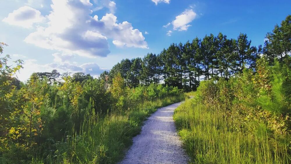
From quick and easy loops around town to short drives that take you to fantastic lakes and mountainous areas, the Triangle has so many options to hit the trail. So lace up your hiking boots, because we’ve compiled a hiking guide for the Raleigh area with 20 routes and trails to help you plan your next adventure and experience breathtaking views.
Note: While parks and trails may be listed as open, we recommend checking park websites before visiting for further info, current trail conditions, and safest practices for the area.
Key: Easy = 🥾 | Moderate = 🥾🥾 | Hard = 🥾🥾🥾
Wake County
Blue Jay Point Nature Walk, Blue Jay Point County Park, 3200 Pleasant Union Church Rd., Raleigh
- Difficulty: 🥾
- Length: 1.5 miles
- Pet-friendly: Yes, but must be kept on a leash
- Wheelchair accessible: No
Hike this well-marked looped trail if you’re looking for serene lake and creek views. It’s perfect for families and offers off-trails excursions and a nearby playground. Pro tip: Keep an eye out for the park’s namesake bird.

The Museum Park during fall.
North Carolina Museum of Art Park, NCMA, 2110 Blue Ridge Rd., Raleigh
- Difficulty: 🥾
- Length: 1.7 miles
- Pet-friendly: Yes, but must be kept on a leash
- Wheelchair accessible: Partially; not all paths are paved
This pleasant stroll is mostly on a paved walkway. There are great views of the Museum Park’s art, like the hidden Cloud Chamber for the Trees and Sky, and beautiful flora, plus plenty of places to lay out a blanket for an after-hike picnic. Bonus: The NCMA regularly hosts guided museum park tours.

See the Big Lake on the Sal’s Branch Trail.
Sal’s Branch Trail, William B. Umstead State Park, 8801 Glenwood Ave., Raleigh
- Difficulty: 🥾
- Length: 2.5 miles
- Pet-friendly: Yes, but must be kept on a leash
- Wheelchair accessible: No
- Bonus: Preview the hike
Hike this looped trail if you’re looking for a pleasant stroll filled with pines and hardwoods. This is a popular area for running, hiking, and fishing.

Our readers clicked on RALtoday’s hiking guide… a lot.
Lake Lynn Trail, Lake Lynn Park, 7921 Ray Rd., Raleigh
- Difficulty: 🥾
- Length: 2.6 miles
- Pet-friendly: Yes, but must be kept on a leash
- Wheelchair accessible: Partially
This trail is mostly paved with some boardwalks and has little elevation change. Look out for aquatic life like ducks, geese, herons, and turtles.

Pause your hike to take in views of Jordan Lake.
New Hope Overlook Blue Route, Jordan Lake State Recreation Area, 448 W. H. Jones Rd., New Hill
- Difficulty: 🥾
- Length: 2.8 miles
- Pet-friendly: Yes, but must be kept on a leash
- Wheelchair accessible: No
- Bonus: Preview the hike
This loop features different views of Jordan Lake, including a short detour to the edge of the lake (it’s marked). Keep in mind that there are several steep hills.

Hike the East Loop at sunset to try and catch these cotton candy skies.
Lake Johnson East Loop, Lake Johnson Park, 4601 Avent Ferry Rd., Raleigh
- Difficulty: 🥾
- Length: 2.8 miles
- Pet-friendly: Yes, but must be kept on a leash
- Wheelchair accessible: Yes
This paved trail winds through the woods, along the lake, and across a dam. It connects to the Walnut Creek Greenway Trail. After your hike, visit the covered pavilion to take in a scenic lake overlook in a rocking chair.
Honeycutt Creek Greenway, Honeycutt Park, 1032 Clear Creek Farm Dr., Raleigh
- Difficulty: 🥾🥾
- Length: 5.2 miles
- Pet-friendly: Yes, but must be kept on a leash
- Wheelchair accessible: No
This trail starts as a suburban path, but transitions into a peaceful, heavily-wooded trail. Hike out to Falls Lake and back. Pro tip: Seasonal bow hunting occurs here — reflective orange vests are available in steel boxes at the Durant Road and Raven Ridge Road trailheads for anyone hiking the trail.

Find this chainsaw art in Umstead State Park.
Company Mill Loop, William B. Umstead State Park, 2100 N. Harrison Ave., Cary
- Difficulty: 🥾🥾
- Length: 6 miles
- Pet-friendly: Yes, but must be kept on a leash
- Wheelchair accessible: No
Hike this trail if you want a mix of nature and history. In the beginning of the hike you will come across Crabtree Creek where the Company Mill existed in the 1800s. There, you can spot the remains of an old dam before crossing a bridge into the trail’s looped section.

Pups are welcome at Umstead State Park.
Loblolly Trail, William B. Umstead State Park, 2100 N. Harrison Ave., Cary
- Difficulty: 🥾🥾
- Length: 6.4 miles
- Pet-friendly: Yes, but must be kept on a leash
- Wheelchair accessible: No
This out-and-back trail is popular for runners. Wear sturdy shoes; the trail has many roots and rocks + can be muddy after rainy weather.
Ravenridge Mountains-to-Sea-Trail, 11900-11924 Raven Ridge Rd., Raleigh
- Difficulty: 🥾🥾
- Length: 6.8 miles
- Pet-friendly: Yes, but must be kept on a leash
- Wheelchair accessible: No
Hike this out-and-back route for a taste of the Mountains-to-Sea Trail — a 1,175-mile footpath stretching across NC. There are great views of Falls Lake for most of the hike.

The Triangle Land Conservancy has eight public nature preserves.
Williamson Preserve to Neuse River Walk, 4409 Mial Plantation Rd., Raleigh
- Difficulty: 🥾
- Length: 8.3 miles
- Pet-friendly: Yes, but must be kept on a leash
- Wheelchair accessible: No
Explore the Bailey and Sarah Williamson Preserve, open every day from dawn until dusk. Be on the lookout for wildflowers and a turtle or two.

Walk or run the Mountains to Sea Trail.
Falls Lake Trail, Falls Lake State Recreation Area, 13300 Creedmoor Rd., Wake Forest
- Difficulty: 🥾🥾🥾
- Length: 24.4 miles
- Pet-friendly: Yes, but must be kept on a leash
- Wheelchair accessible: No
Hike this long stretch of the Mountains-to-Sea Trail along Falls Lake if you’re up for a challenging trek with a total elevation gain of 1,751 feet. Be prepared for the moderately rocky and root-filled terrain. While the hike is considered to be difficult, the trail is smooth and clear which makes this route conquerable.
Durham County
Couch Mountain Trail, Duke Forest, NC-751, Durham
- Difficulty: 🥾🥾
- Length: 1.8 miles
- Pet-friendly: Yes, but must be kept on a leash
- Wheelchair accessible: No
Hike this trail if you are looking to explore broad paths filled with vibrant wildflowers in Duke Forest.
Cole Mill Trail Loop to Bobbit Hole Trail, Eno River State Park, 4113 Cole Mill Rd., Durham
- Difficulty: 🥾
- Length: 2.4 miles
- Pet-friendly: Yes, but must be kept on a leash
- Wheelchair accessible: No
This trail features the Bobbit Hole — a notable geological feature with a mysterious history. Cole Mill once operated on the far side of the river from 1814-1908. You can also spot the remains of the Alpha Woolen Mills and the foundation of an off-campus Duke fraternity house.

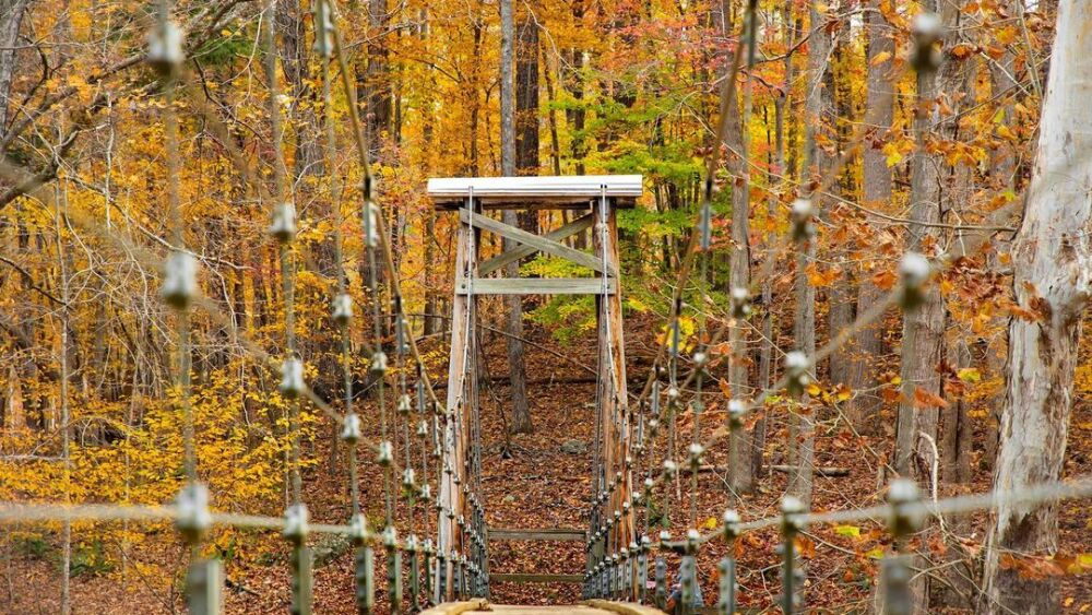
This suspension bridge is over the Eno River.
Cox Mountain Trail, Eno River State Park, 6101 Cole Mill Rd., Durham
- Difficulty: 🥾🥾
- Length: 4.1 miles
- Pet-friendly: Yes, but must be kept on a leash
- Wheelchair accessible: No
Hike this trail if you’re looking for phenomenal river views. The trial leads you through abundant greenery to a suspension bridge over the Eno River.
American Tobacco Trail from Durham, 409 Blackwell St., Durham
- Difficulty: 🥾
- Length: 21.9 miles
- Pet-friendly: Dogs and horses allowed on portions of this trail
- Wheelchair accessible: Partially; some areas are paved
Find the beginning of this trail near Durham Bulls Athletic Park at Morehead Avenue and Blackwell Street. This expansive trail is mixed-terrain, composed of gravel and paved paths. You’ll travel the Triangle through Durham, Chatham, and Wake counties. Look for various environmental gems including a lake and wildflower fields.
Orange County
Historic Occoneechee Speedway Trail, 320 Elizabeth Brady Rd., Hillsborough
- Difficulty: 🥾
- Length: 1.3 miles
- Pet-friendly: Yes, but must be kept on a leash
- Wheelchair accessible: No
Serving as the location of former NASCAR races from 1949 to 1968, the remains of this speedway are truly a blast from the past. On the trail you are bound to stumble upon abandoned retro race cars, cement stairs used for stadium-style seating, vintage signs, and mid-century items scattered in the area.

Look out for signs to the overlook.
Occoneechee Mountain Loop Trail, 625 Virginia Cates Rd., Hillsborough
- Difficulty: 🥾🥾
- Length: 2.3 miles
- Pet-friendly: Yes, but must be kept on a leash
- Wheelchair accessible: No
- Bonus: Preview the hike
Hike this trail for scenic mountain views — the natural area is the highest point in Orange County reaching 867 feet. The mountain is home to diverse habitats that support mountain-specific plant and animal life such as the purple fringeless orchid and the brown elfin butterfly. Pro tip: Combine this hike with the Chestnut Oak Loop to see different views of the mountain.
Wormhole and Pumpkin Loop Trails, 9115 Seawell School Rd., Chapel Hill
- Difficulty: 🥾🥾
- Length: 4.7 miles
- Pet-friendly: Yes, but must be kept on a leash
- Wheelchair accessible: No
This is a no-nonsense route that is wide with dirt and gravel terrain, offering interesting single track pathways that connect from the main access. The first half mile of the trail elevates gradually, so expect some minimal climbing.
Harnett County

See waterfalls at Raven Rock State Park.
Campbell Creek Loop Trail to Lanier Falls, Raven Rock State Park, 3009 Raven Rock Rd., Lillington
- Difficulty: 🥾
- Length: 4.6 miles
- Pet-friendly: Yes, but must be kept on a leash
- Wheelchair accessible: No
- Bonus: Preview the hike
About an hour from downtown Raleigh, this trail is situated along the banks of the Cape Fear River. Keep your eyes peeled for the detour to the waterfalls — City Editor Cat’s dog Tucker’s favorite part of the trail.
Get the right gear
Get the most out of your trip with comfortable, handy, and helpful hiking gear:
Psst — to be ultra-prepared, here are the 10 items you should never enter a national park without, according to the National Park Service.
Trail map
Explore the map below to see which hikes are close to you. Even if the one you’re eyeing is a hike, we promise the trail is worth the drive.


:max_bytes(150000):strip_icc()/TAL-lake-tahoe-view-BACKPACKLT1223-666cc260430342aea4ba8165acc289c1.jpg)


